Motu manawa
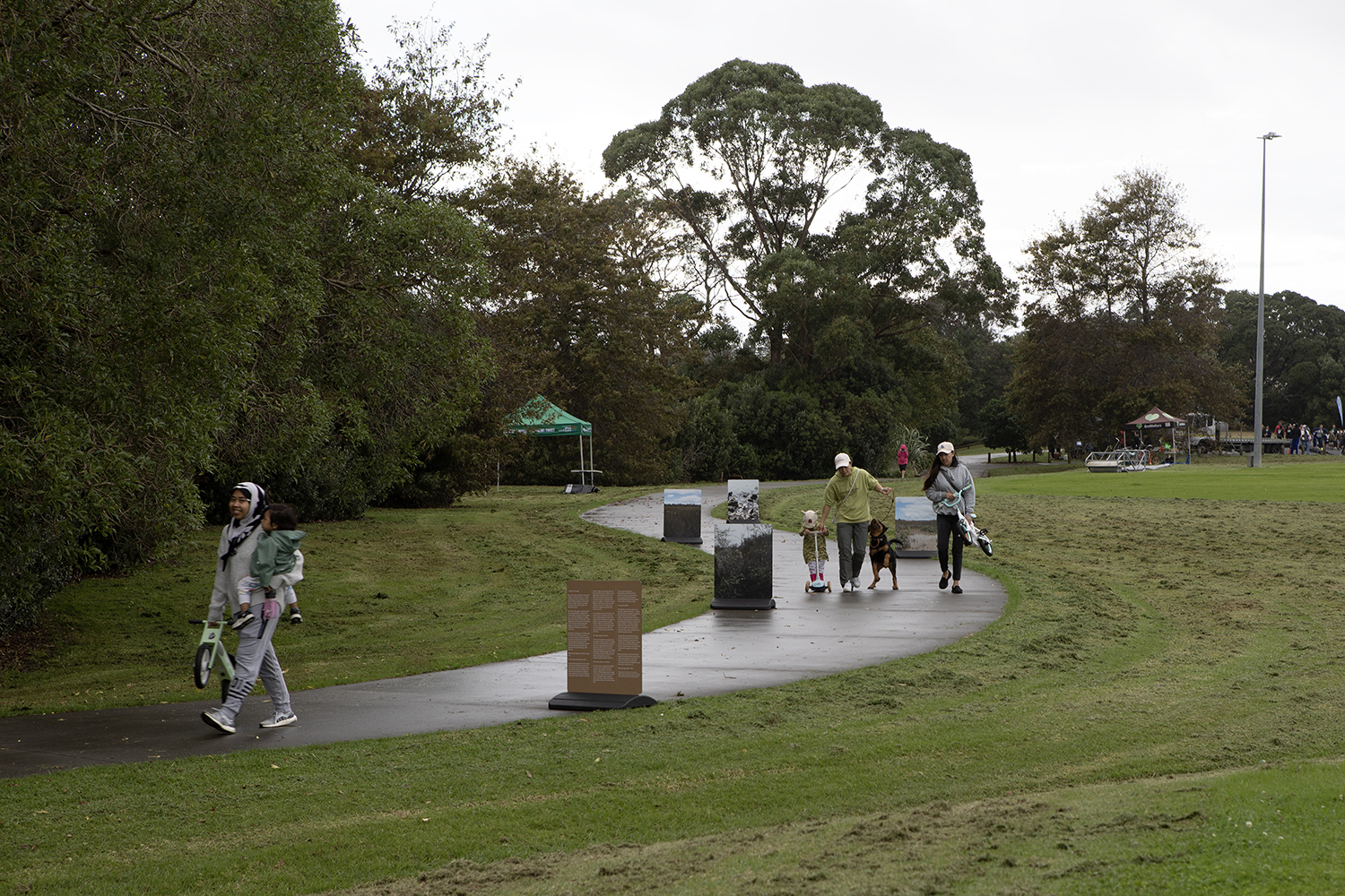
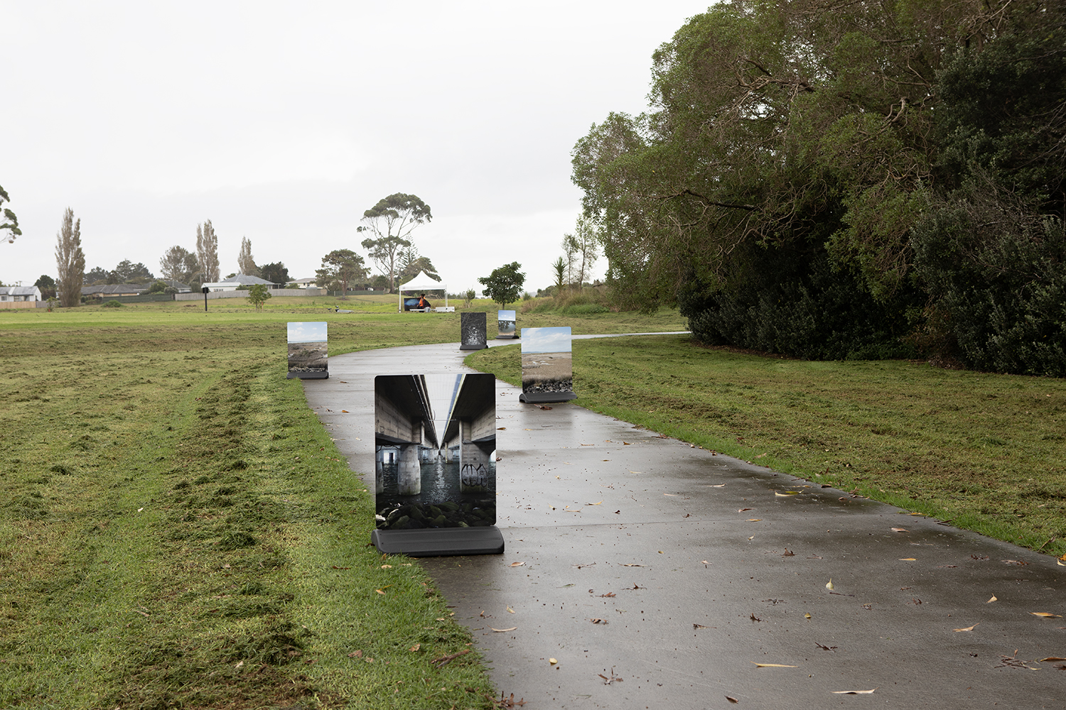
Presented as part of the Whau Arts Festival and Te Whau Pathway programmes 2023
Vinyl printed street signs
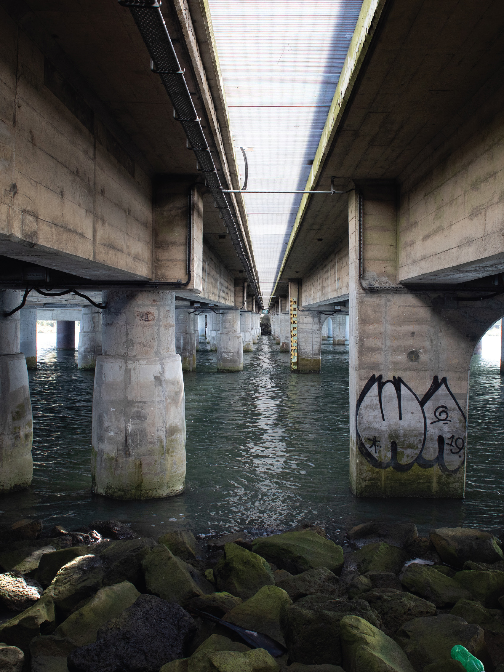
1. Under the bridge
Each time I pass under the motorway bridge – by boat or by foot – it feels momentous. As if I’m going to sea or illicitly sliding through a construction fence to explore. Yet, it’s a perfectly ordinary, in fact rather minor and legitimate action.
On foot it only takes a quick step off the viewing platform alongside the northwestern cycleway to find myself on a rock path designed for walking. But when I pause to think about it, the significance of that step has something to do with the way the motorway edges the shore here. A barrier holding the buildings in and the salt marsh out.
By boat the bridge over the Whau sits low. One time I pushed up with my oar and so easily touched the support span. And I wondered what height the water passing through here had reached since the imperial flood measure had been painted and placed mid channel. How small the gap could become.
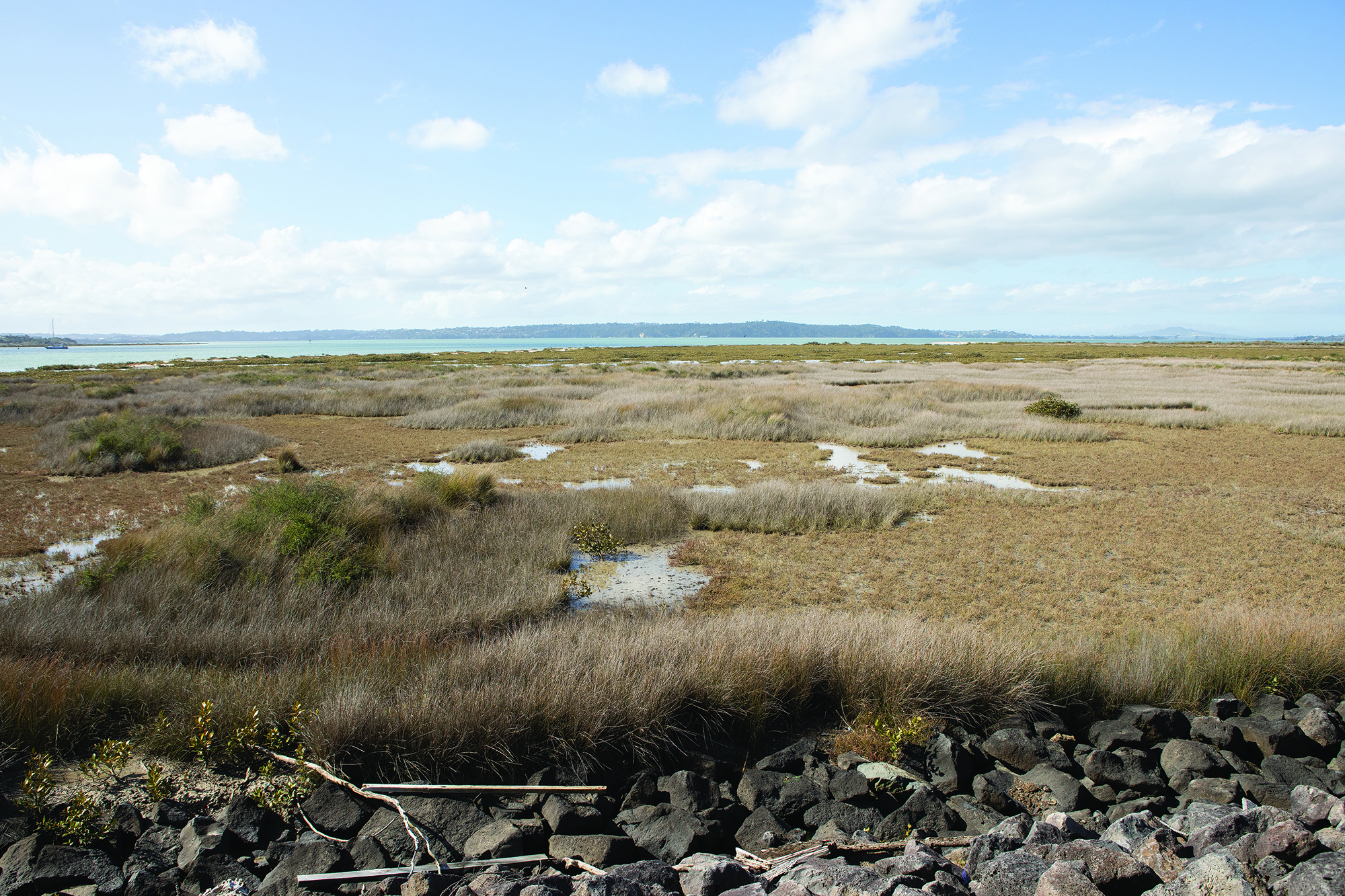
Beyond the bridge the harbour opens out.
2. The quality of estuarine mud
I’ve discovered that there are at least three levels of firmness in the mud that makes up the intertidal mud flat that sprawls along the embankment. Its hard earned experience. Bought with muddy skin, ruined clothing and more than a few moments of anxiety.
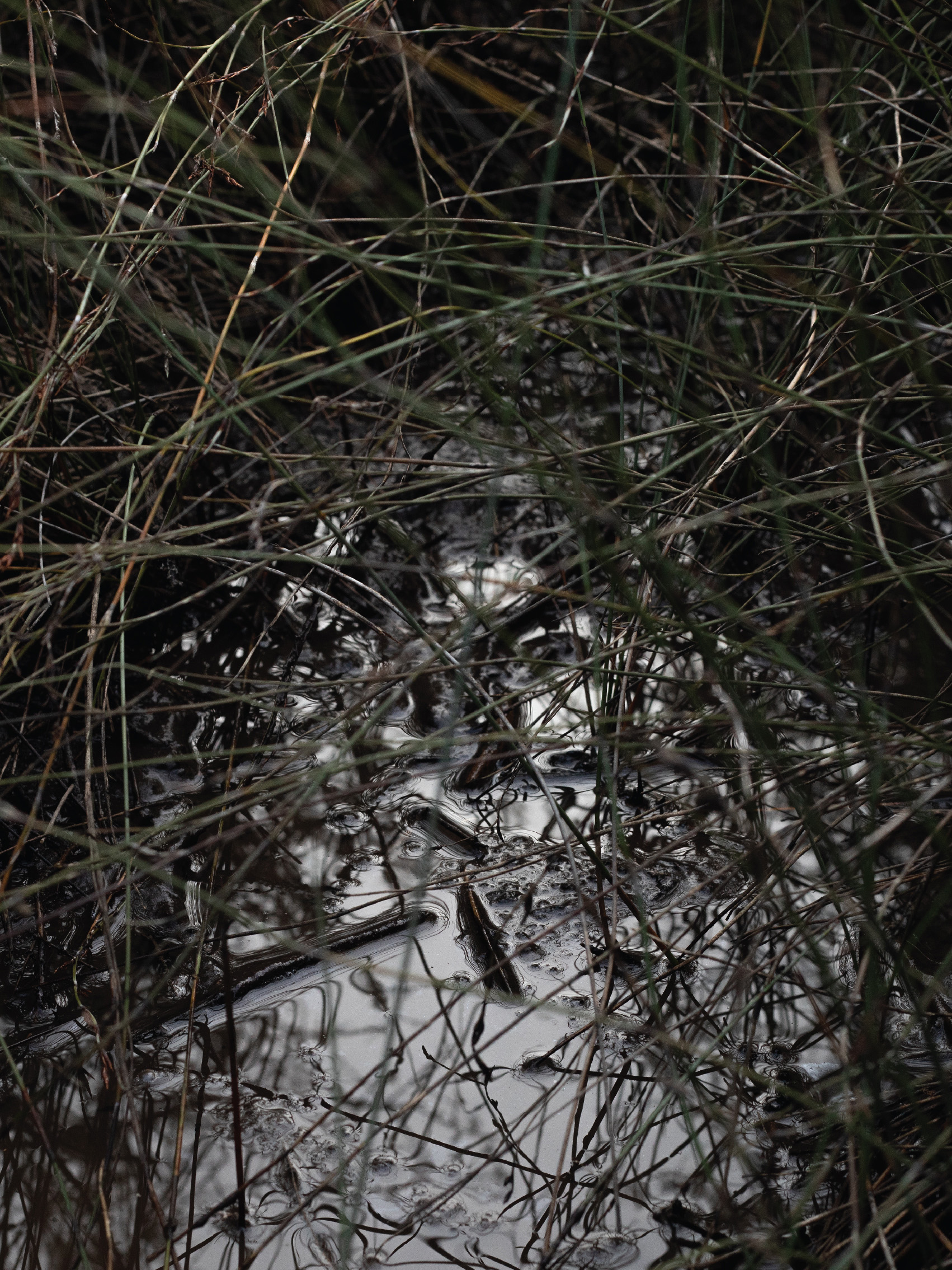
There’s a deep and sucking soft mud. Silt and sediment that swallows a leg thigh deep and holds it there. Then there’s the mud that’s skinned over solid ground, been compressed into stone, or caught in a network of roots. Between them there is the mud that wobbles and sucks. It holds up yet threatens collapse, and softens the more it is trod.
It’s not always easy to tell which mud is which. So, as I squelch across the water slicked expanses of salt marsh pocked with crab holes and mangrove suckers, I step cautiously, carefully, briskly. I follow my memories of safe routes and don’t let my weight linger as I move between grass and rush mounds. Outward, to the island and the shoal.
3. A slight segue to Te Kou
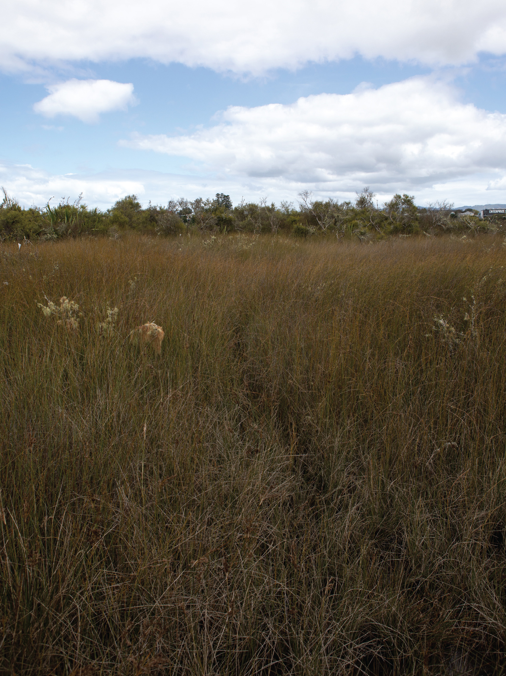
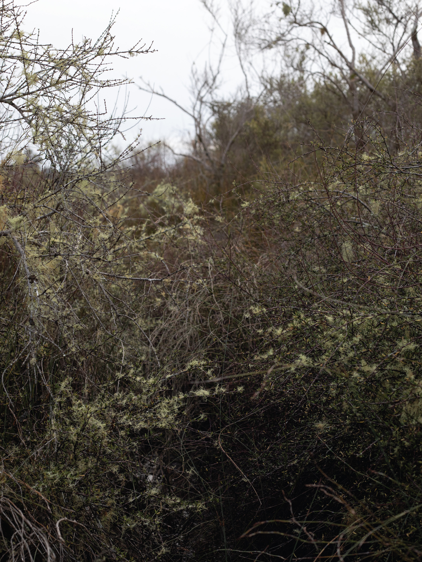
Te Kou, the island that underpins the causeway, is easier to reach. A scrabble down the rock embankment, leaving the whirr of passing bicycle wheel behind me. Then I’m on a knob of densely foliaged land in a sea of stubby mangroves. Subtle passages worn into the rushes invite me to follow them, before trailing off into mud or disappearing behind flax and brush.
4. And then there is an island
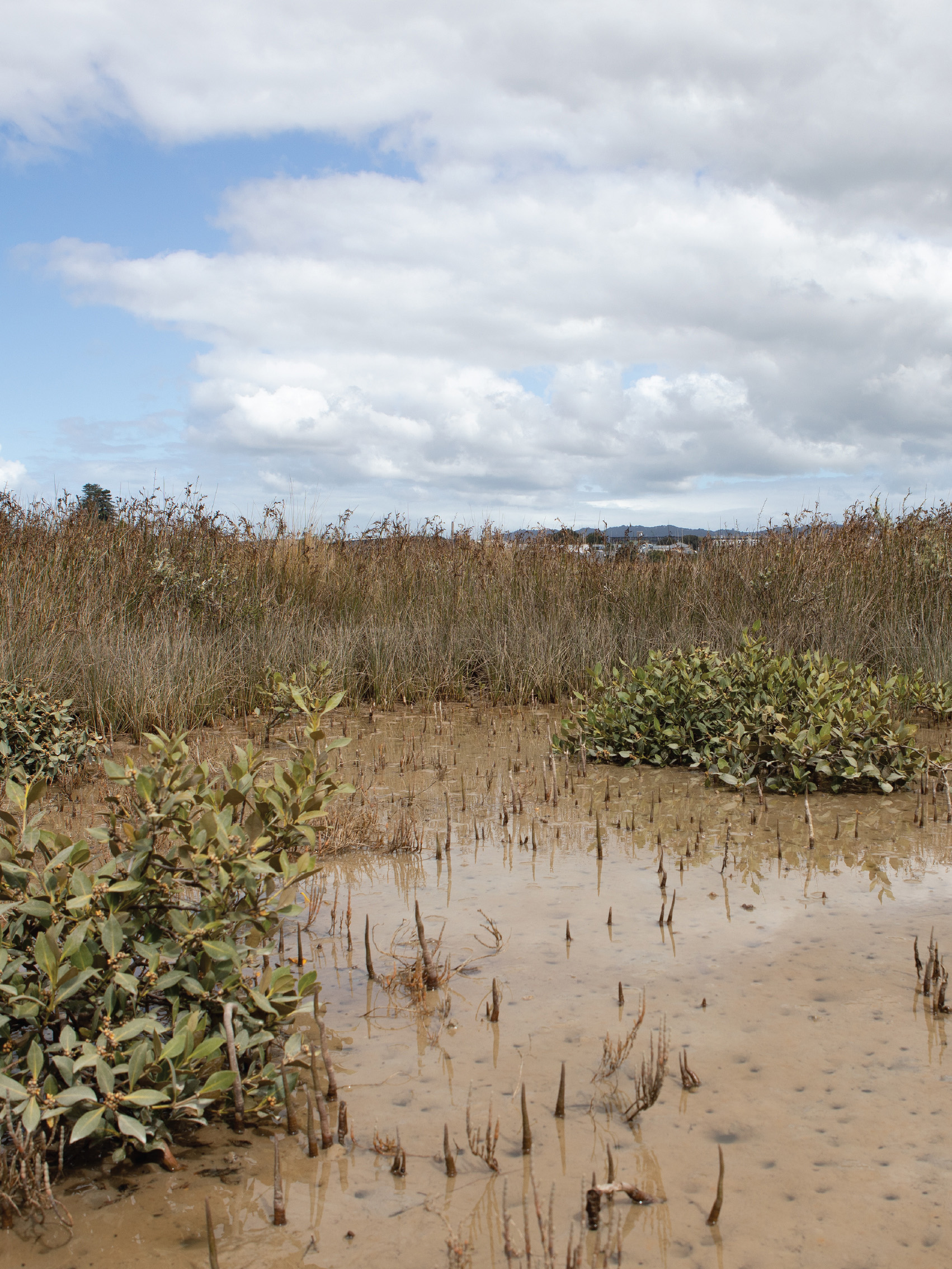
The first time I crossed the mudflats to what can be called the island proper I attempted to reach its centre, pass through to the other side. Three or four futile starts along path ways created by water and small creatures ending in unpassable thickets of scrub, reed and flax.
The interwoven plants of Motumanawa and Te Kou firmly remind me that not every place is mine to go. So I back off and go around, following the swaths of glass wort as the mud shifts to shell.
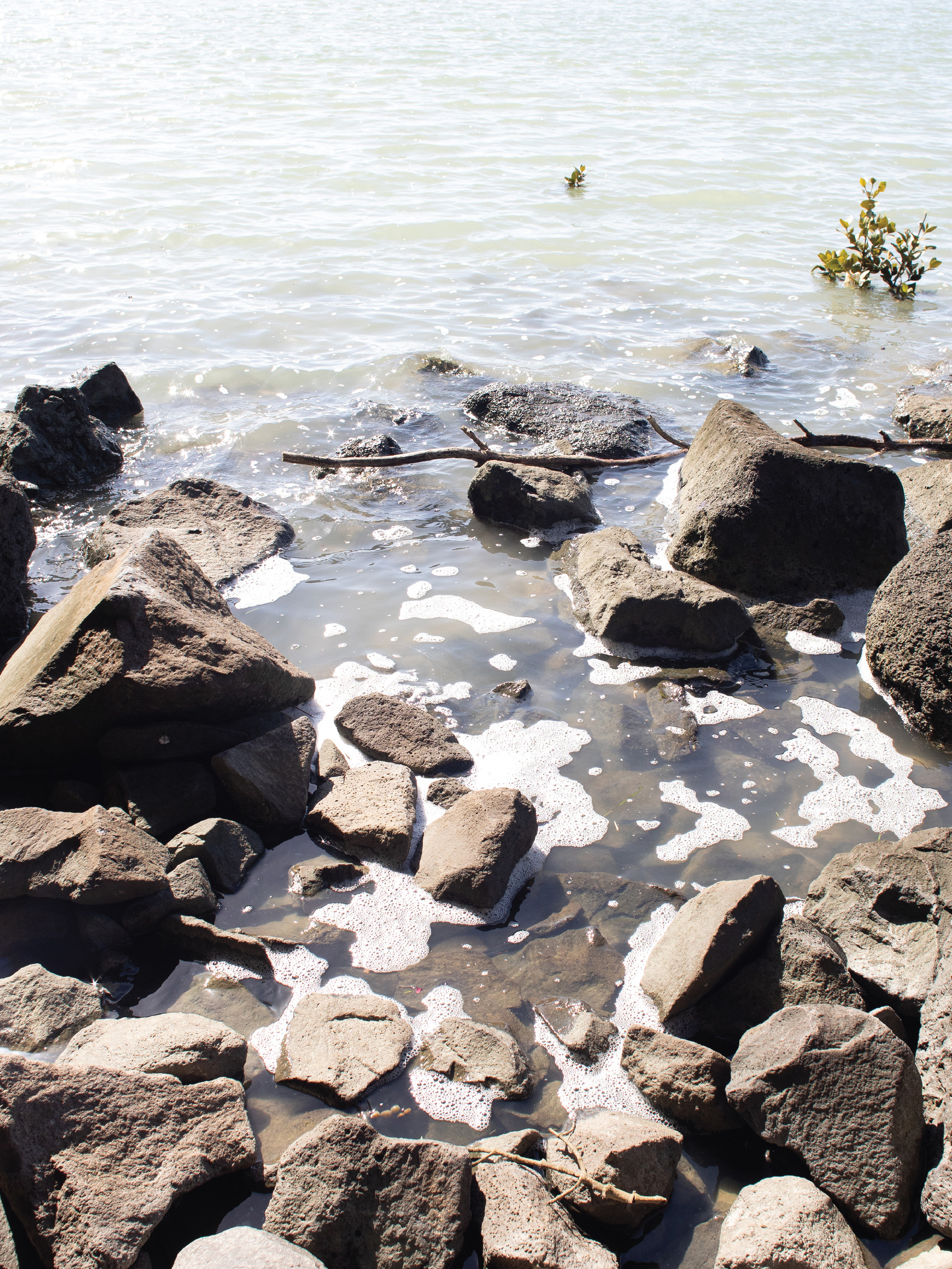
5. A shoal of shells
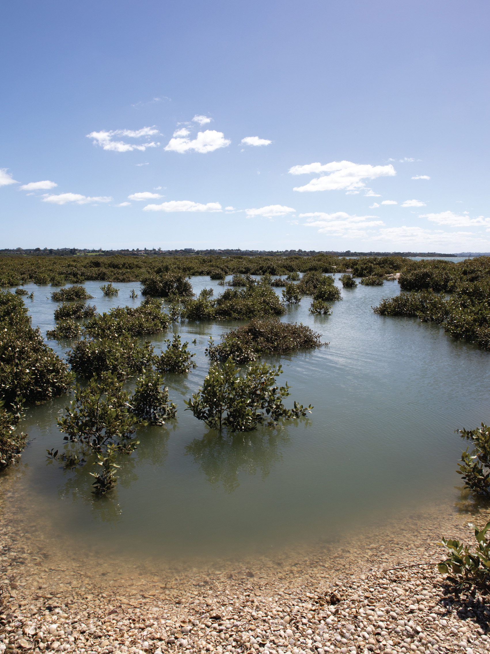
My high tide visits have taken me to the other side of the island – a cockle shell shoal built up against the edge of the salt marsh. It’s not a midden, rather a natural formation swept up from the cockle beds out in waters of the Waitematā. Yet there are traces of human activity – concrete washing baths from when the cockle shells were harvested for lime, the burnt remnants from recent camp fires and washed up plastic waste.
At high tide the water fills the dips and channels depressed into the flat expanse. Sitting on the ground the mangroves, te mānawa, appear to float on the water and fill the horizon. A beard on the shell spine that holds the the island’s line against the lapping swell.
But the tide has turned and it’s time to go. The shell crunches underfoot as I walk along it. Back to my boat, or back over the flats to cycle path, crossing the tidal zone before the mid tide water races out, or in.
Melissa Laing, 2020 – 2023
Motumanawa and Te Kou and the intertidal mudflats that surround them are part of the Motu Manawa / Pollen Island marine reserve that begins where the Whau River reaches the Waitematā.